
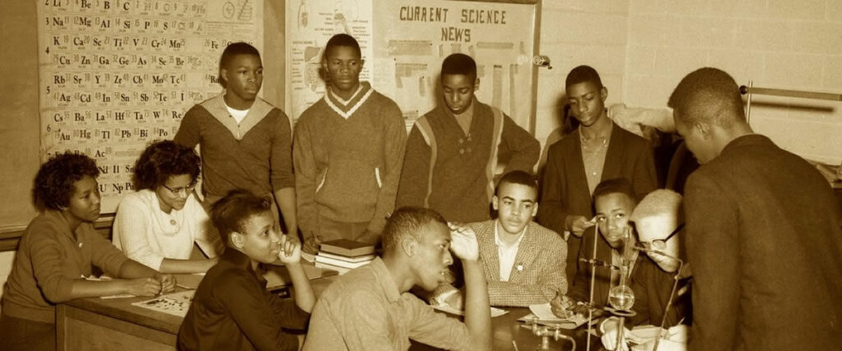

East Flat Rock Community Map
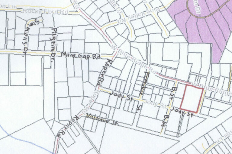
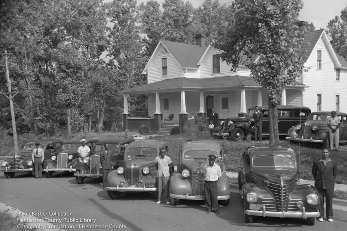
Spartanburg Highway to West Blue Ridge at light turn right, cross RR tracks. On the left is Jody Street, B Street, Ferndale Street then left onto Roper Road. Turn left onto Valentine Street. Mine gap Road is right off Roper Road. Down Mine Gap Road, past the Mud Creek Baptist Church, is Pilgrim Drive and Simmons Drive
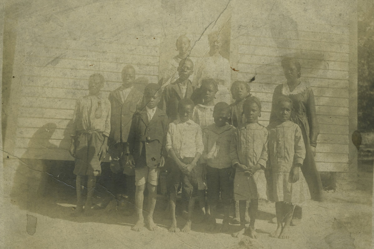
There were other areas East Flat Rock where black families lived. Highland Park Road Near the church and Oakland Cemetery which is a black cemetery. As well as Markely Drive
