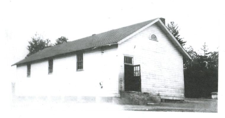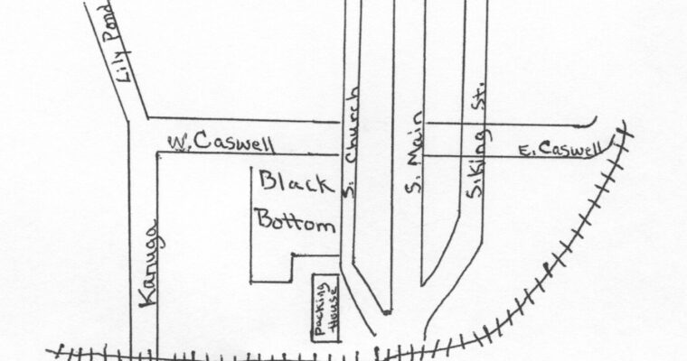
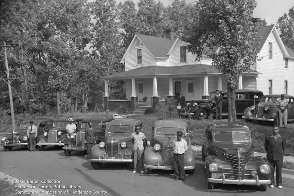

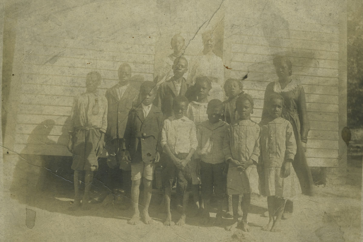
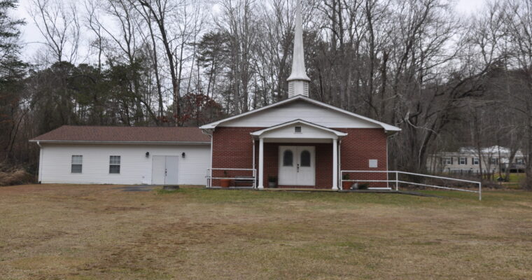
Stanford Chapel A.M.E. Zion Church
Stanford Chapel was organized in the early 1900’s under the leadership of Rev. Hemphill, Rev. C. C. Martin, and Elder Mays. The church was located on Salisbury Rd. in the Edneyville-Fruitland area of Henderson County. The trustees at the time were: Merrimon Allen, Foster Casberry, Frank and …